Eta Track May Head To Gulf Of Mexico After Landfall In Nicaragua
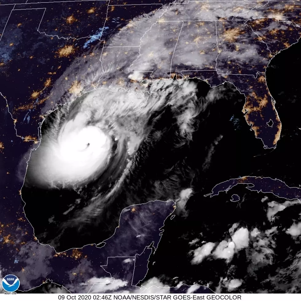
This hurricane season has been one for the record books. Louisiana alone has seen three hurricanes make landfall on our Gulf coast with Laura, Delta, and most recently, Zeta.
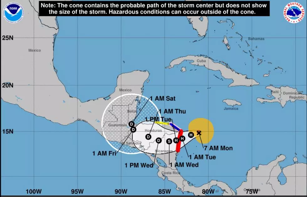
Now there is another system in the Caribbean that has its sites on Nicaragua and Honduras and could make landfall as a major hurricane. As of the 7:00am update, Eta has been upgraded to a hurricane packing winds of 90 miles per hour.
The hurricane is moving west at 10mph. The current forecast has it making landfall tonight around midnight or early Tuesday morning. The problem is that this storm is slow moving. As you see on the current forecast map, the storm is forecast to stay over Central America all the way through Friday.
What we are concerned about is that the track could start to make a northern turn sometime early Friday.
If the storm holds together over the mountains of Honduras, it could head straight into the Gulf of Mexico and if it does that, all of the Gulf Coast will be on alert, especially the folks in Louisiana.
Some forecasters are saying Hurricane Eta will die off, but some of the storm could spin off into another storm and form in the Caribbean. However, now is not the time to panic. It is best to keep your hurricane plan in place and make sure to keep and eye on what this storm will do.
We will keep you updated over the air, as always.

Behind-the-Scenes Photos From SWLA Good Morning America Broadcast
More From 92.9 The Lake


