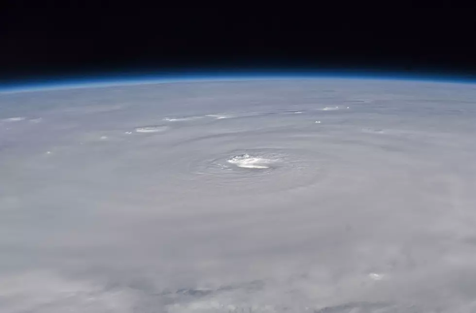
Hurricane Juaquin Forms in the Atlantic
Right now, Hurricane Joaquin is moving to the west-southwestward under the influence of a short-wave ridge to its north. This motion should continue for the next 24 hours, and Joaquin is expected to then turn slowly westward as the ridge weakens on Thursday. Joaquin is then expected to move southwestward into the central Bahamas Given this new forecast, the government of the Bahamas has issued a Hurricane Warning.
Following that, the storm is expected to turn northwestward and then northward. During that time further strengthening is expected. As it stands now, Juaquin is a Category 1 storm with maximum sustained winds at 75 mph. Juaquin's current movement is to the Southwest at 6mph.
As you can see, the storm is expected to hit part of the Bahamas then scoot up into the open waters of the Atlantic and be off the coast of the new York area by Monday morning.
More From 92.9 The Lake


