The Latest on Harvey — What We Can Expect
It's been a long time since I've seen forecasters as undecided as they seem to be over Harvey. It seems that, for the most part, the past several storms that threatened oour area were fairly easy to track and predict, but along comes Harvey and forecasters are pretty much unified in their confusion over this storm.
One group of forecasters are even predicting that Harvey will make landfall in Texas and then turn around, go back into the Gulf and head east. Keep in mind that's just one of many theories about what this most unpredictable storm may or may not do.
Having said all that, here's what we know right now:
Harvey is out there in the Gulf of Mexico and and he's starting to build. It's pretty much a uniform conclusion that Harvey will become a Category 1 storm by the time in makes landfall in Texas.
Here's the hard information in Harvey's current location and such:
LOCATION...24.0N 93.3W
ABOUT 365 MI...590 KM SE OF CORPUS CHRISTI TEXAS
ABOUT 360 MI...580 KM SSE OF PORT OCONNOR TEXAS
MAXIMUM SUSTAINED WINDS...65 MPH...100 KM/H
PRESENT MOVEMENT...NNW OR 340 DEGREES AT 10 MPH...17 KM/H
MINIMUM CENTRAL PRESSURE...982 MB...29.00 INCHES - National Weather Service
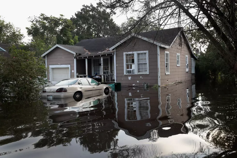
When it comes to "watches" and "warnings", all the usual warnings for the storm, rain and storm surge are well to the west of us. As things stand right now, our biggest worry will be all the rain that can accompany such a storm. To make matters worse, the ground here in our area is already saturated from all the rain we've had this summer. It won't take a lot of rain to flood and we've got a lot of rain coming our way.
Forecasters also say that it looks like Harvey may stall after making landfall and that will greatly increase the amount of rain an area will get. As it stands now, the NWS says that we have a 70% chance of rain through Tuesday of next week.
Again the official statement from the NWS:
As of 10 a.m. Harvey is moving toward the north-northwest near 10 mph (17 km/h). A turn toward the northwest is expected later today, and Harvey's forward speed is forecast to slow down during the next couple of days. On the forecast track, Harvey will approach the middle Texas coast on Friday and make landfall Friday night or early Saturday, and then stall near the middle Texas coast through the weekend.
More From 92.9 The Lake


