Map Shows What Texas Cities Will Be Under Water In 50 Years
An interactive map shows that many coastline cities and islands will be under water in the next 50 years.

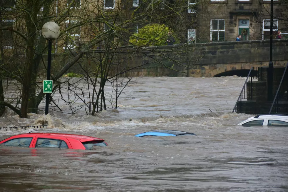
Many factors like hurricanes, tropical storms, wind, waves, and rising sea levels are taking over 30 feet of coastline from Texas in certain areas and giving it to the Gulf of Mexico.

Texans are really concerned about the coastline, especially those of live in the area or in close proximity.
Recently, the Texas government has calculated that it would take upwards of $12 billion to even attempt to save the Lone Star's state coastline.

Climate researchers at the Climate Center, a group of scientists and journalists researching how climate change is affecting the planet, made an interactive map of what the US coastline will look like in the future. Their intention is to illustrate the future that sea level rise will bring for coastal towns.
We set our map to look at the year 2080.
What Texas cities will be underwater in 2080?


10 Happiest Cities in Texas
Gallery Credit: Billy Jenkins
More From 92.9 The Lake

