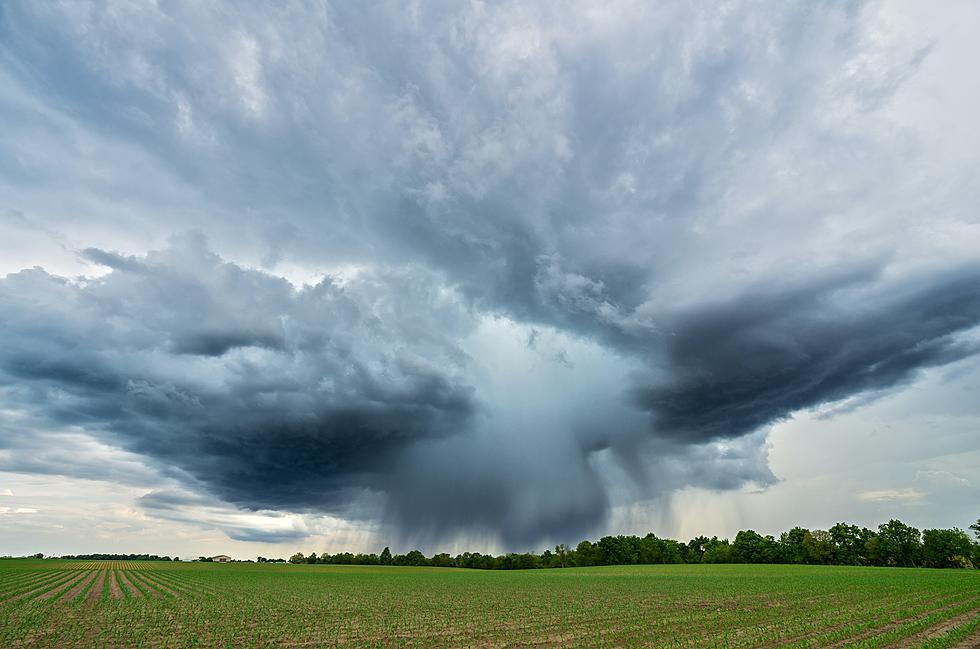
Strong Storms Pushing Across Louisiana This Morning
A quick check of the National Weather Service Radar will show you that showers and strong thunderstorms are on the march across Louisiana this morning. The showers and storms are connected to the first of two storm systems that will affect our weather over the next several days. However, this system, a robust low-pressure system with both a warm front and a cold front extending outward from its center is the one that we need to pay the most attention to right now.
Here's the radar scan from 0330 am this morning. You can see the line of storms between Shreveport and Ruston.
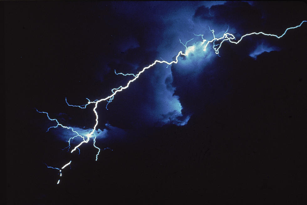
The storm system has produced a squall line of heavy rain and thunderstorms in advance of the arrival of the actual front. The storms associated with this squall line have prompted watches and warnings to be posted.
A Tornado Watch has been posted for Evangeline, Iberia, St. Mary, St. Landry, and St. Marting Parishes until 11 this morning. There are many more included but those parishes are in our service area. As you can see this watch covers the eastern and northern sections of Acadiana. The watch area is indicated by the yellow shading on the map.
The Storm Prediction Center has much of Central Louisiana at enhanced risk for severe storms this morning. The further south you move, toward I-10, that risk diminishes but not substantially.
Rob Perillo, Chief Meteorologist at KATC Television has the storm's arrival into South Louisiana timed out this way.
As you can see even in that model guidance there appears to be a stronger push of stronger storms in the northern areas of South Louisiana as opposed to those communities that lie closer to the coast.
So basically if the forecast timing remains viable most of the I-10 corridor won't experience showers or storms until the middle of the morning or maybe even as late as lunchtime depending on where you happen to be.
The good news is that this system should exit the area by the early afternoon hours. Behind the storm system, we can expect more sunshine and warmer temperatures until storm number two, We mentioned that at the top of the article moves through on Wednesday night.
That frontal system on Wednesday is not expected to create showers or thunderstorms for the area but it will drop temperatures by Thursday. In fact, Friday morning overnight temperatures will settle into the upper 40s. Skies should be mostly sunny through the remainder of the week into the weekend.
The next threat of rain and storms will arrive in South Louisiana about a week from today. In between now and then, make sure you're watering your lawns and gardens because, despite the weekly severe weather events, we are still way behind on rainfall in this part of the world.
And with all of that dust and pollen, you might want to consider checking out one of these.
5 Best Car Washes in Lafayette
More From 92.9 The Lake