Online Maps Show Which Louisiana Cities Will Be Under Water in 25 Years
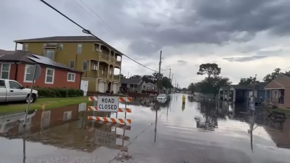
VERMILION PARISH, La. (KPEL News) - Louisiana's disappearing coastline has been a topic of conversation for decades, and it seems like we're always getting new warnings and dire predictions about our homes in south Louisiana suddenly becoming beachfront property.
However, there is one website out there that is attempting to show us what Louisiana might look like in 25 years if things don't change.

Louisiana Parishes Underwater?
The map was created by climate researchers at Climate Center, which is an organization of scientists and journalists studying the impacts of climate change on the world. Their goal is to show what the future holds for coastal communities as sea level rise.
Looking at the map Climate Center has provided, it looks like a lot of southern parishes could be at risk.
Just take a look at how much bigger Vermilion Bay could be getting if the map holds true.
Meanwhile, New Orleans being surrounded by levies is certainly beneficial for the Big Easy. It looks like everything surrounding the city is set to be underwater or close to being fully submerged in the next quarter of a century.
That, however, makes things worse in future hurricane seasons. Less land surrounding New Orleans means more powerful storms making landfall right on top of the city. That would be devastating if it holds true.
As we endure extreme weather events, researchers warn that those events are becoming stronger and more common. Louisiana has spent a lot of time and money trying to stop its coastline from eroding away, but predictions like these certainly make the threat seem a lot more dire.
We're no stranger to extreme weather events, though. Take a look at some of the worst most Louisiana residents still talk about.
Most Feared Weather Events in Louisiana
Gallery Credit: Tracy Wirtz


