Weather Service Updates Timing on Louisiana’s Saturday Soaker
The good folks of Louisiana would never cast their eyes to the heavens and ask "why", you just don't do that around here. But, there are more than a few who are wondering why we couldn't have gotten the rain we've suddenly been getting last summer.
You remember last summer, right? Extreme heat, no rain, drought conditions that were breaking records? Here look at these drought monitors from last October and the latest one that was just released. The darker colors show the driest areas of the state.
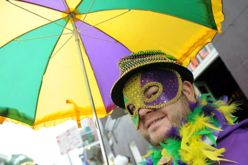
Yeah, it's a huge improvement but the rain is coming too late to save one of Louisiana's most cherished yearly events, crawfish season. And it's coming just in time to throw a giant wet monkey wrench into another Louisiana good time, Mardi Gras. Okay, it won't "technically be Mardi Gras" this weekend but we do have a lot of parades and events planned that the rain would not be welcome for.
Louisiana Can Expect Heavy Rain on Saturday
There are a couple of silver linings in the weekend weather forecast despite the potential for torrential rains at the time. It does look as if the threat of severe weather with this storm system will be minimal. The Storm Prediction Center has only extreme southwest Louisiana and a large portion of southeast Texas under a marginal risk for strong storms. That threat does mirror Louisiana's coastline as far east as the mouth of the Mississippi River. Here's the graphic from SPC.
Meanwhile, the Weather Prediction Center does have almost all of the state under a slight risk of an excessive rainfall event during the day on Saturday. An excessive rainfall event suggests rainfall rates could outpace drainage leading to some flash flooding, street flooding, and ponding of water on roadways.
This graphic shows just where the heaviest rain is expected to fall. Needless to say, if you're in Louisiana, you've got a pretty good shot at getting a soaking, based on the graphic below.
When Will It Rain On Saturday In Louisiana?
Showers will begin to spread from west to east across the state very late Friday night and into the wee small hours of Saturday morning. Unfortunately, this will be an "off and on" scenario with showers that will pop up and move on rather quickly, but they will be numerous.
KATC Television is suggesting through the Extended Graff Model that the heaviest weather will be rumbling through southwestern Louisiana and south central Louisiana from mid-morning into the late afternoon.
Remember, this is one model projection but it does echo what the official forecast calls for. Heavier rains will push across the region from lunchtime to about suppertime and then a few residual showers will remain.
Rainfall totals, as we've mentioned, will be from one to two inches at most locations across the state. The outlook for Sunday is nice. And, just in case your Saturday Mardi Gras plans need to be rescheduled the outlook for Lundi Gras and Mardi Gras does appear to be rain-free with temperatures in the upper 60s.
12 Things You Know if You're From Louisiana
Gallery Credit: Bruce Mikells
