Louisiana’s Next Round of Severe Storms Comes Later This Week
During Monday's storms, there were reports of hail in Lake Charles, Louisiana. Franklin, Louisiana reported street flooding, and numerous other communities from Vinton to the west to New Orleans to the east reported issues with severe weather. As we report to you this morning, some portions of Louisiana are still under weather watches and warnings as the powerful storm system moves off to the east.
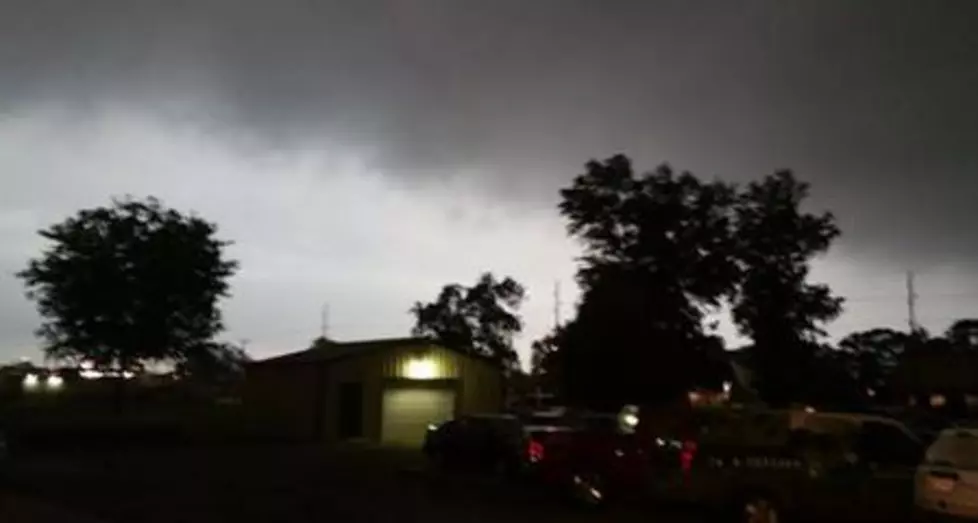
The image above is the radar scan from the National Weather Service National Radar site. It was captured just after one this morning, so you can see there is still plenty of "weather" associated with this system as it moves out of the state.
Behind this system, you can expect cooler temperatures to build in. They'll be brought in by some very gusty winds. There is a wind advisory posted for much of Louisiana today. Many parts of the state will experience wind gusts above tropical storm force.
The force of that anticipated wind has prompted another advisory, a low water advisory for Sabine Lake and Calcasieu Lake. The National Weather Service says the actual tide reading could reach as low as -1 feet which is a fancy way to say the water levels at the gauges will be very low indeed.
After we dry out today, there should be sunshine building in across Louisiana, and chill out tomorrow, we mentioned the colder temperatures Louisiana residents will once again need to be "weather aware" as the next round of strong and possibly severe weather rumbles across Louisiana late in the day on Thursday.
You can see on the graphic from the Storm Prediction Center that almost all of Louisiana will once again be under the gun for severe storms. The fact that the SPC is again forecasting a major severe weather outbreak this far in advance would suggest that there is a lot of confidence in the forecast.
The National Weather Service Forecast Office in Lake Charles has forecast the timing of the storm system this way. They believe that Thursday should be nice during the day but as the evening wears on showers and storms will build in across the region. The threat of severe storms will likely come late Thursday but more likely the early morning hours of Friday.
Forecasters will fine-tune the outlook the closer we get to Thursday night so, in the meantime, enjoy the rain moving out, and the sun moving in, and don't forget the wind will be blowing like a bandit today and it will be very cold tomorrow.
10 Snowiest Cities in Louisiana
Gallery Credit: Jude Walker
More From 92.9 The Lake

