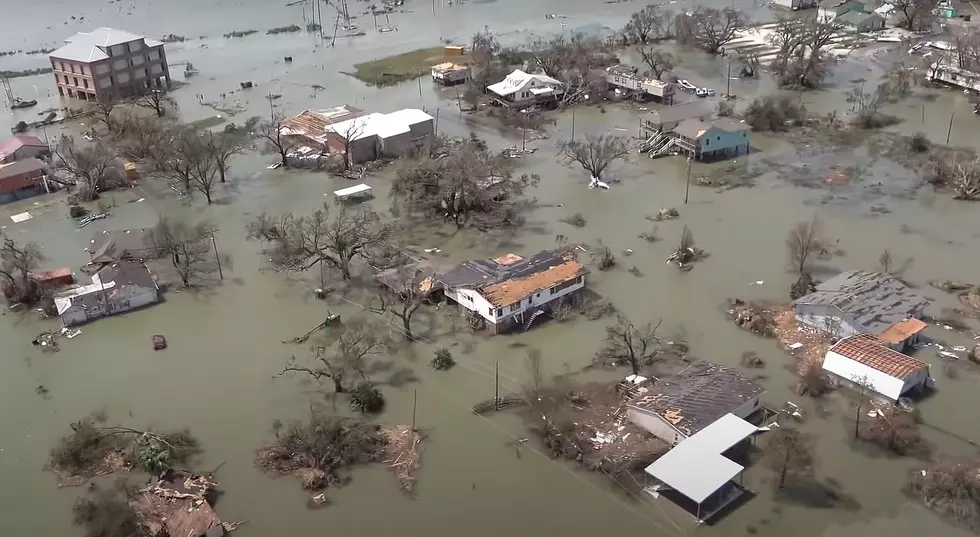
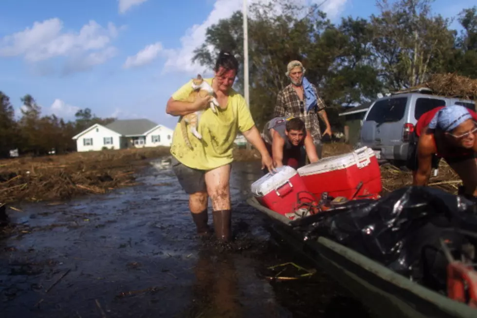
All Eyes on a Possible One Two Punch in the Tropics
A couple of days ago, we reported there were two areas of disturbed weather in the Caribbean and Atlantic.
Fast forward three days later, and things are really getting dicey as both disturbances have paths that don't look too favorable for the United States and the Gulf of Mexico states.
First, we need to keep an eye on the closest one to us here in Southwest Louisiana. That system, called Invest 97-L, is currently in the Caribbean sea and, as of the last update, has an 80% chance of formation. The forecast track takes this possible storm right between the Yucatan Peninsula and Cuba. Some of the models show it skirting the western edge of the Yucatan Peninsula and entering the Gulf of Mexico, and then who knows where it will head.
The second disturbance, called tropical depression 13, is another one we should keep our eyes on right now is in the Atlantic. Even though it is far out, the five-day models give it a 90% chance of formation, and the forecast track shows it taking dead aim at Lesser Antilles, Dominican Republic, and Cuba.
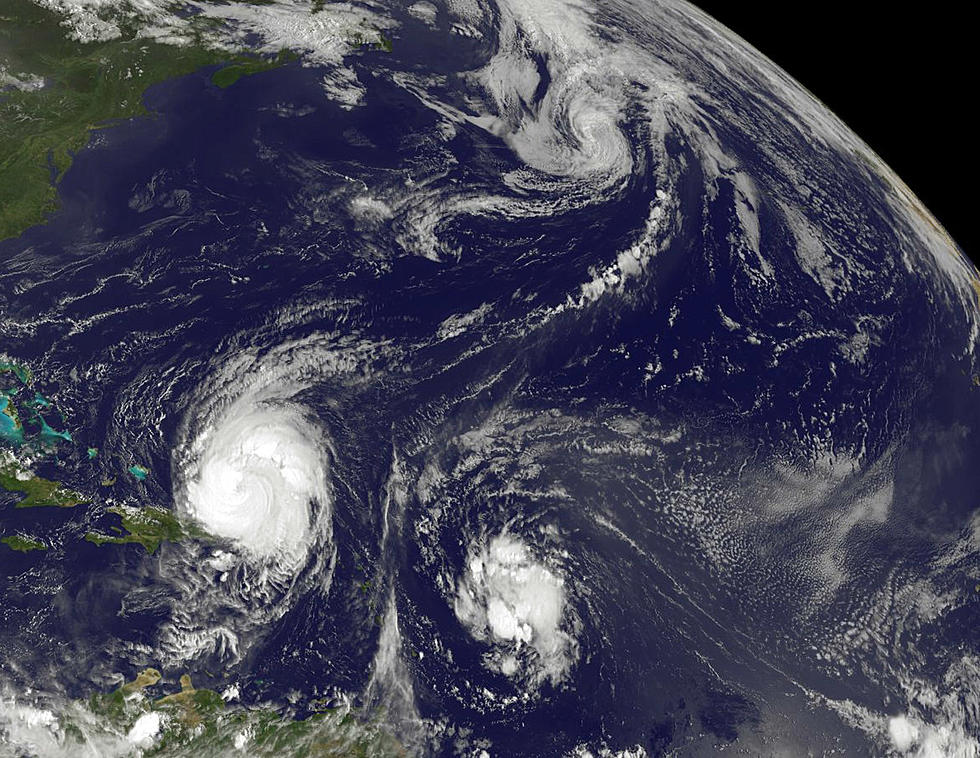
The spaghetti models show a track after that heading toward South Florida, but some of the models say if it wiggles westward, it could even enter the Gulf. The good news about Invest 98-L is that it's still over five days out.
No matter what, both systems are worth watching and getting prepared for. Remember to have your plan in place and supplies ready, just in case either storm makes a turn toward our area.

Essential Cajun Survival Kit
More From 92.9 The Lake


![President Trump Arrives in Lake Charles to Survey Damage From Hurricane Laura [Video]](http://townsquare.media/site/33/files/2020/08/Untitled2.jpg?w=980&q=75)
![This is How Powerful Hurricane Laura Was in Lake Charles [VIDEO]](http://townsquare.media/site/34/files/2020/08/Screen-Shot-2020-08-29-at-11.26.32-AM.jpg?w=980&q=75)