
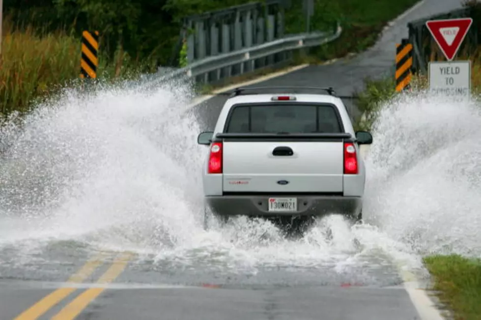
What’s Flowing And What’s Going?
Because we still have rain chances in the forecast we’re not out of the woods yet with the flooding and road closure issues. And although it’s not advisable to be out “sight-seeing” and riding around aimlessly to see water over the roads, some travel is necessary so here’s two websites that can help you any time, now or in the future during forthcoming weather/traffic events.
The first one is the National Weather Services “water” page at: water.weather.gov. When you pull this up you’ll first see a smaller map of the entire United States covered with mostly green dots. Each dot represents a measuring station along a US river. To find that rivers flood stage condition all you do is click on the dot closest to it. When you see the map at first it seems as the dots are on top of one another and many stations are very close for sure – but all you need to is enlarge the map and the dots will spread out nicely.
When you click the station you want to check it will also display a graph that indicates the current water flood stage, and it’s predicted rise or fall over the next several days.
Then you’ll want to check 511LA.org This site is maintained by the state DOTD and gives virtual up to the minute road closures and detours. Same with the water map to get a better view of roads near you simply enlarge the map. The DOTD map will tell you which roads are blocked and why, it’s also a good resource in ‘good’ times to use to see where construction is taking place and other road hazards.
Between these two sites you should be able to do the important navigation necessary in your life to locomote around the state if you need to. Again during the next few days it’s a wiser choice to stay away from the affected areas so rescuers can work, and homeowners don’t have to worry about strangers in their neighborhoods.
More From 92.9 The Lake

![Major Flooding In New Iberia After Hurricane Laura Sweeps Through Louisiana [VIDEO]](http://townsquare.media/site/34/files/2020/08/Screen-Shot-2020-08-27-at-8.48.08-AM.jpg?w=980&q=75)
![Water Already Seen Moving Into Grand Isle [VIDEO]](http://townsquare.media/site/34/files/2020/08/Screen-Shot-2020-08-26-at-7.59.51-AM.jpg?w=980&q=75)


![This Is What Interstate 10 Looks Like Outside Of Houston [VIDEO]](http://townsquare.media/site/34/files/2017/08/Screen-Shot-2017-08-30-at-10.53.30-AM.png?w=980&q=75)
![Local Reporter Reminds Us Why You Should Avoid Walking In Flood Waters [VIDEO]](http://townsquare.media/site/34/files/2017/08/Screen-Shot-2017-08-30-at-7.08.33-AM.png?w=980&q=75)