The Latest on Hurricane Harvey
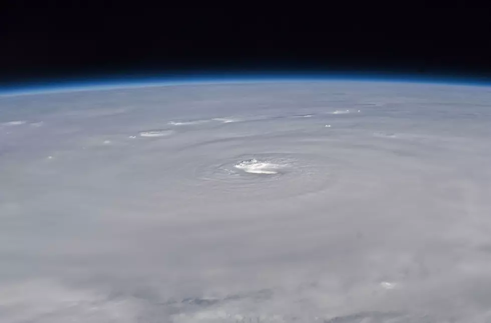
Hurricane Harvey continues to churn it's way toward the Texas shoreline this morning. As of 7 a.m., the center of Hurricane Harvey was located about 140 miles SE of Corpus Christie. Harvey winds have accelerated a great deal since yesterday and the highest sustained winds are coming in at 110 m.p.h.
I've been watching all the coverage of this storm and all the experts are saying that the storm's forward motion is going to slow down and the storm is expected to stall right there on the Texas coast. Obviously, this means that Harvey will be dumping enormous amounts of rain in addition to those 100 m.p.h. winds.
The storm surge warning is in effect from Port Mansfield to High Island, Texas whicj is still well to the west of us. The area covered by the hurricane warning is just south of Port Mansfield to the mouth of the Rio Grande.
Harvey is expected to make landfall on the middle Texas coast either late tonight or early tomorrow morning. The only impact we will feel from the storm will be in the form of very heavy rain for several days. Right now, out own forecast includes a 70% chance of rain through next Wednesday.
The next official update will be released at 10 a.m. We'll up date this information all throughout the weekend.
More From 92.9 The Lake


