Atlantic Disturbance Expected to Become Tropical Storm Today
While we were busy celebrating the 4th yesterday, Mother Nature was busy out in the Atlantic creating an area of disturbed weather that forecasters say could turn into a tropical storm as early as today.
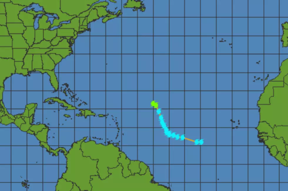
Right now, the system has the name of 94L, but later today, that system could become known as Tropical Storm Don. Obviously the 4th named storm of the 2017 Hurricane Season. For the past two days, a Northerly wind shear at about 20 mph prevented the system from developing, but that wind shear situation is expected to diminish leaving 94L more room to develop.
A strong ridge of high pressure should steer the system mostly west-northwest at 5 - 15 mph for the next five days, which would bring the storm near or north of the Northern Lesser Antilles Islands this weekend.
The invest is far out in the Atlantic right now, but forecasters are saying thsat it has a potential to take a more westerly course over the next feew days which could steer the storm right into the gulf. The good news is that there are other factors at work which could cause the system to dissipate.
According to the Nationsal Weather Service:
A broad weakness in the flow across eastern North America will sharpen over the weekend, then flatten early next week before potentially sharpening again.
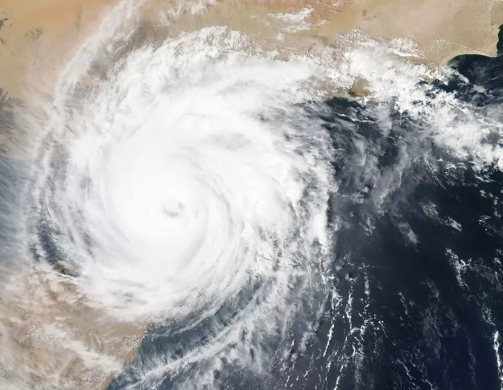
Invest 94L is located about 800 miles west-southwest of the Cabo Verde Islands.
More From 92.9 The Lake